
Research & Economic Development
Modeling Analysis and Simulation
Research Focus Area Leader: Dr. Alfred Kalyanapu, Civil and Environmental Engineering
Current research in this area is focused on Geographic Information Systems (GIS) and Remote Sensing (RS) applications, modeling and simulation in watershed sciences, computational hydrology and water resources engineering. Currently, researchers from various disciplines including water resources and environmental engineering, biology, agriculture and computer sciences are active in this research focus area of enabling technologies and tools.
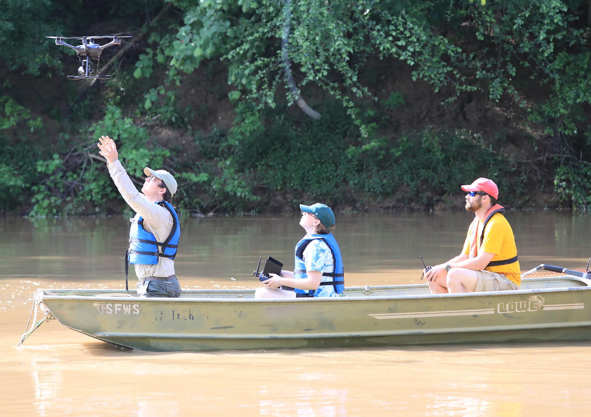
RESEARCH HIGHLIGHT: DRONES
Gathering streamflow information during flooding events is essential to many aspects of watershed management; however, data collection can be very dangerous. Key flood measurements for water and wildlife managers, as well as emergency first responders, are measures of flood magnitudes that exceed the riverbanks and flow into the adjoining floodplains. Unmanned aerial vehicles (commonly known as drones) are becoming more available and less expensive. People have been using drones for various recreational activities, and some have recently started using these for research purposes. In this project, researchers from Tennessee Tech's Water Center and Penn State University are investigating the use of drones in measuring streamflow in rivers and streams, so that streamflow during floods can be measured at a lower risk. The initial tests were conducted on measuring streamflow along the Cumberland, Caney Fork and Obion rivers, in middle and western Tennessee.